.png)


Interactive map for transportation company
Project Size: 1 person-month
Transportation company implemented ERP system with tracking their vehicle. Vehicles are tracked by placing a GPS electronic device in or on a vehicle. To show collected data online new module was added to the ERP system.
Using this module users can view current location of any tracked vehicle and stored tracks of the vehicles.
Project screenshots
Click an image thumbnail below to enlarge
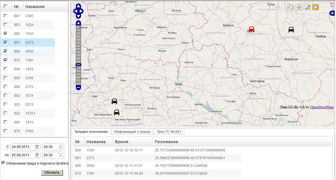
Vehicles current location
User can select vehicles from the list and they will be shown on the map with map resizing. The vehicle is highlighted when user moves mouse cursor over the vehicle record in the list.
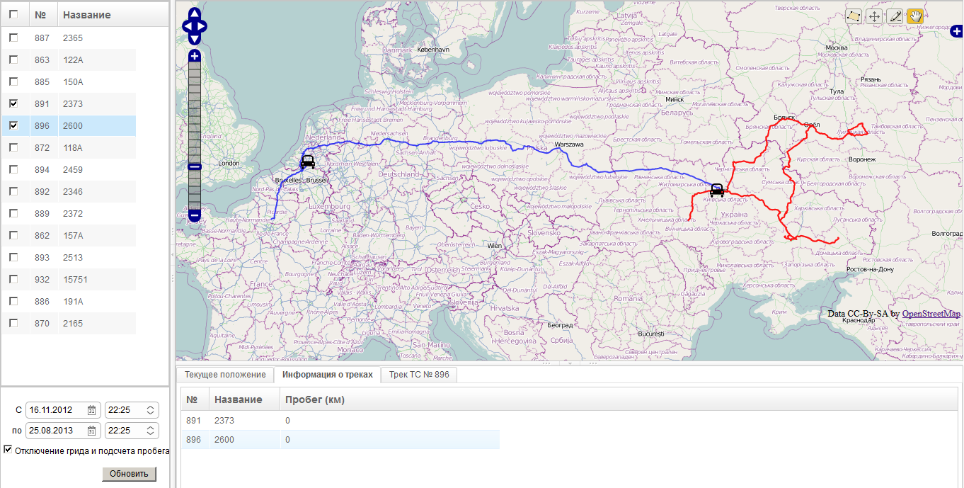
Stored tracks of vehicles for selected period of time
User can select vehicles and period of time to show stored tracks.
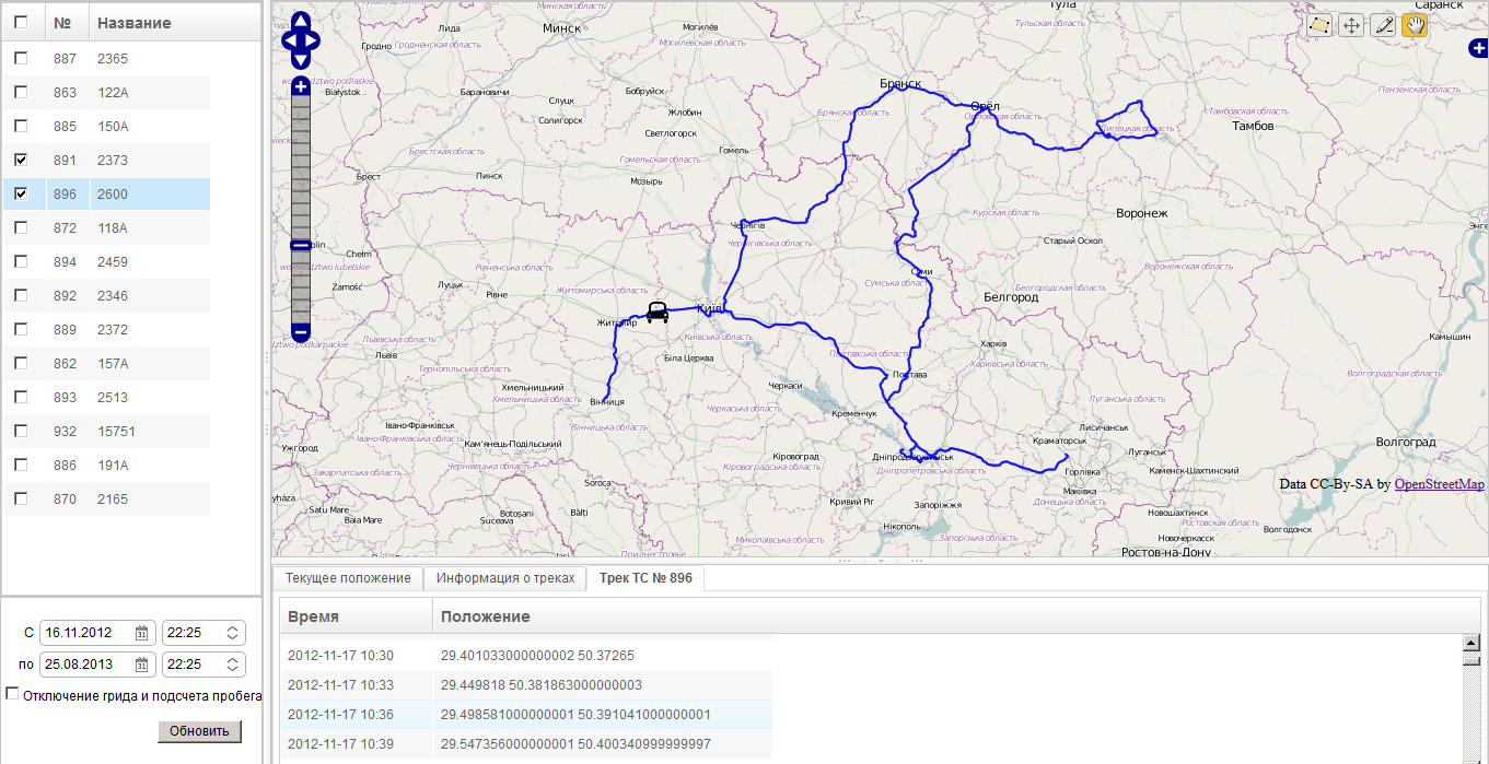
Moving through the track
It is possible to move through the track.
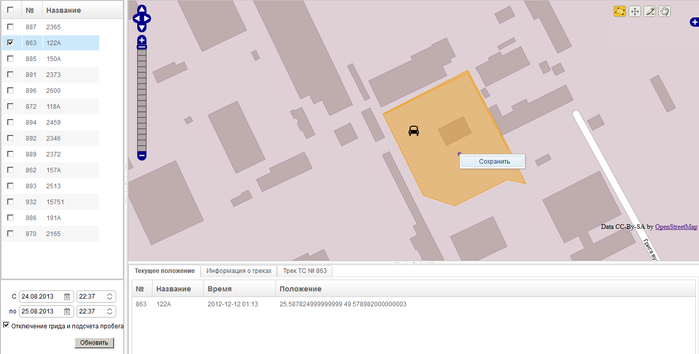
Add polygons to the map
It is possible to add poligons to the map and save them to the database.